
(Sometimes), quite a lot!
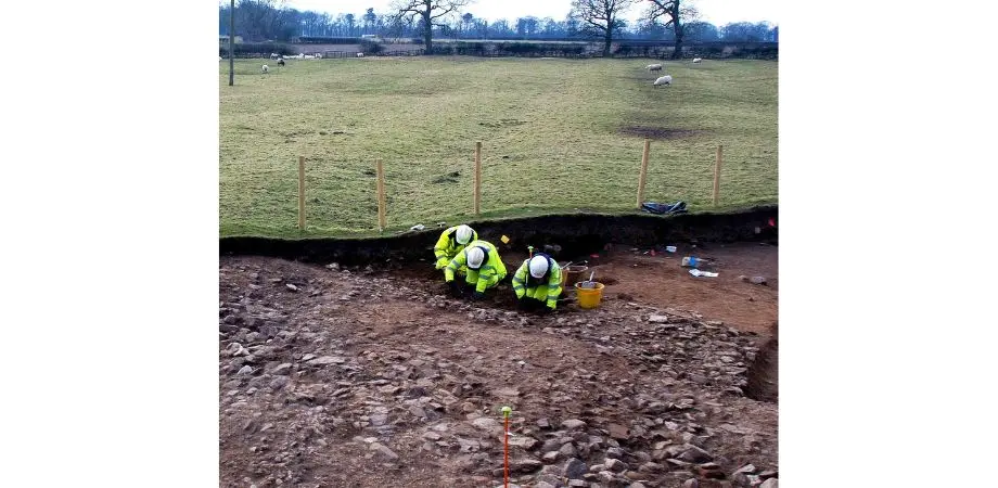
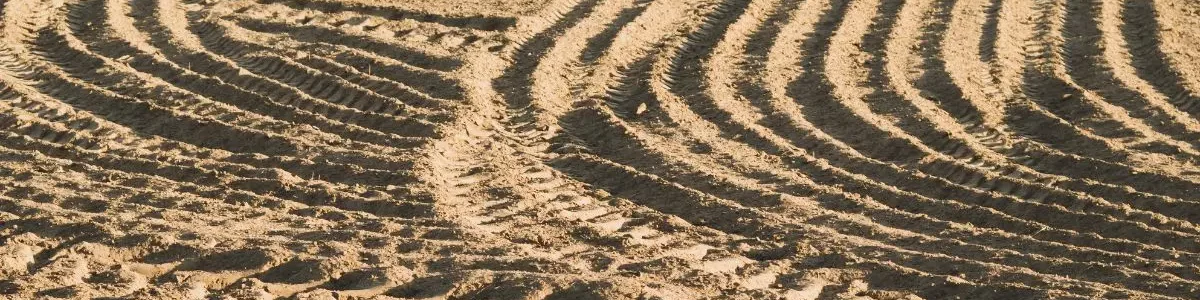
Ridge and furrow, the pattern of parallel ridges and depressions formed by medieval ploughing, survives best in the midland and northern counties of England where arable land was subsequently laid to pasture and has not been ploughed since. In some of these locations, ridge and furrow is one of the commonest features on archaeological sites/landscapes, probably only outnumbered by ‘undated pit/posthole’ in fieldwork reports. It is usually the cause of the stripy results seen in many geophysical surveys and, much to the chagrin of archaeologists, often also a stripy effect on the archaeology beneath, with earlier evidence only surviving in narrow strips between the furrows! However, the ridge and furrow can sometimes tell us a great deal both about the period in which it was used and the landscape in which it was created. Here are a few examples, with apologies to landscape archaeologists!
Ridge and furrow can be an indicator of past climate and changing settlement patterns. In northern England, much of the best earthwork ridge and furrow survives on the sides of the Yorkshire Dales, interspersed with well-preserved farmstead sites. These often lie above the modern limit of arable cultivation, and demonstrate that the climate during much of the medieval period was warmer than it is now and that the uplands were once more heavily populated. Global warming may mean that some of these archaeological remains will be threatened in the future as fields at higher elevations are brought back into cultivation.
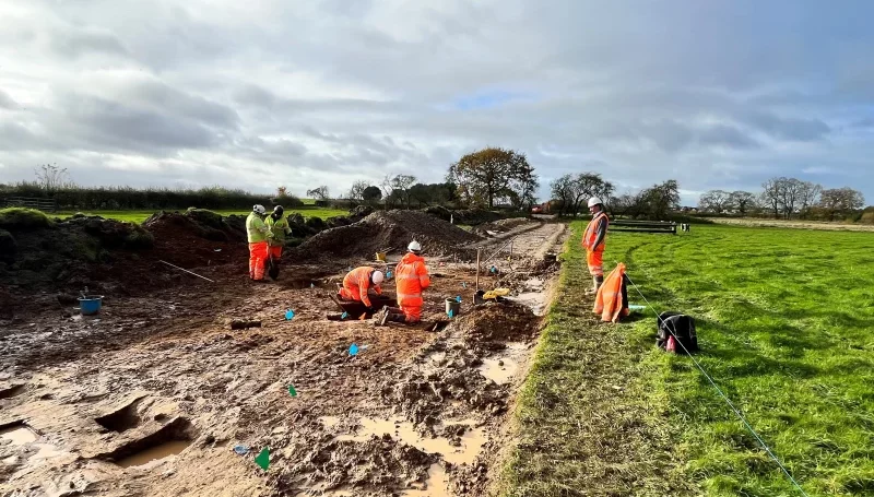
Apart from being an indicator of medieval rural settlement patterns, ridge and furrow can give us insights into the top-down organisation of contemporary rural society. The classic medieval ‘open field’ agricultural system, where serfs were allocated strips to cultivate within a larger area of ridge and furrow, required oversight and planning. Initially, the landowner had to decide to allocate a large area to this system, and, incidentally, to halt whatever was currently happening on that land. A probable example of this process was recorded at Leeming in North Yorkshire during the upgrading of the A1 in 2009–10. Ecus Archaeology’s excavation at Mill Lane recorded a few truncated pits, postholes and slots, and a square enclosure possibly related to stock-handling. The features represented a small agricultural settlement dated to the later 11th or 12th century, one which was possibly dependent to some extent upon a dairy-based economy. By the 13th century, the settlement had apparently ‘disappeared’, replaced by ridge and furrow divided by ditches into strip fields, with some of the ditches cutting through the settlement remains. Had the earlier occupants been evicted? Interestingly, the first documentary evidence for the nearby settlement at Leeming is at the start of the 13th century. Perhaps the landowner had decided to centralise his serfs in one settlement and intensify agricultural production on the freed-up land.
Any communal farming endeavour, historically, is by its nature conservative, and it takes something significant to cause significant change. What, then, of the ridge and furrow Ecus Archaeology recorded in one of the fields crossed by the Cowpen Bewley to Warden Law Pipeline. Well-defined earthwork ridges ran from north-east to south-west. Rather to our surprise, stripping the ridges off revealed underlying furrows cut into the subsoil from north-west to south-east! It can be imagined that, at some point, someone with enough authority had decided that generations of farmers had been doing it wrong and had told them to sort it out. I’d love to go back in time and listen to that conversation!
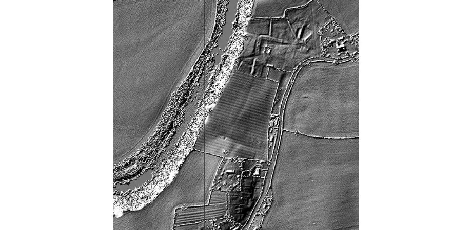
Ridge and furrow can occasionally tell us about other, earlier archaeological features. The furrows usually cut into the natural subsoil, but they sometimes run over earlier earthworks. A result of this is that, as the furrow bases rose they were no longer cut into the subsoil, but only into the make-up of the earlier earthwork. Fast-forward to the 21st century, where modern agriculture has levelled everything above the subsoil, and what we see remaining is a gap in the furrow where it once rose over the earthwork. This can be strong evidence (often the only evidence) for the former existence of the earlier feature. Ecus Archaeology recorded an example of this phenomenon at Osset in West Yorkshire, where furrows (in this case cutting bedrock) ran either side of an Early Bronze Age ring ditch, but not across its interior, indicating that the central burials had originally been covered by a mound. A similar effect was recorded at the Late Bronze Age funerary site excavated at Bowbridge Lane by the A1 Leeming to Barton Improvement scheme (Speed and Holst, 2018).
Apart from its physical remains, medieval ridge and furrow cultivation continues to shape the modern rural landscape, particularly around older villages. In much of England and Wales, the modern field layout is generally a product of the multitudinous Enclosure Acts that were passed between the early 17th and mid-19th centuries. However, many of these ‘modern’ fields are amalgamations of medieval strip-fields, where the internal boundaries have been removed for large-scale mechanised farming. The strip fields often preserved the classic ‘reverse-S’ shape of the furrows, so slightly sinuous sections of modern field boundaries are often a memory of this.